
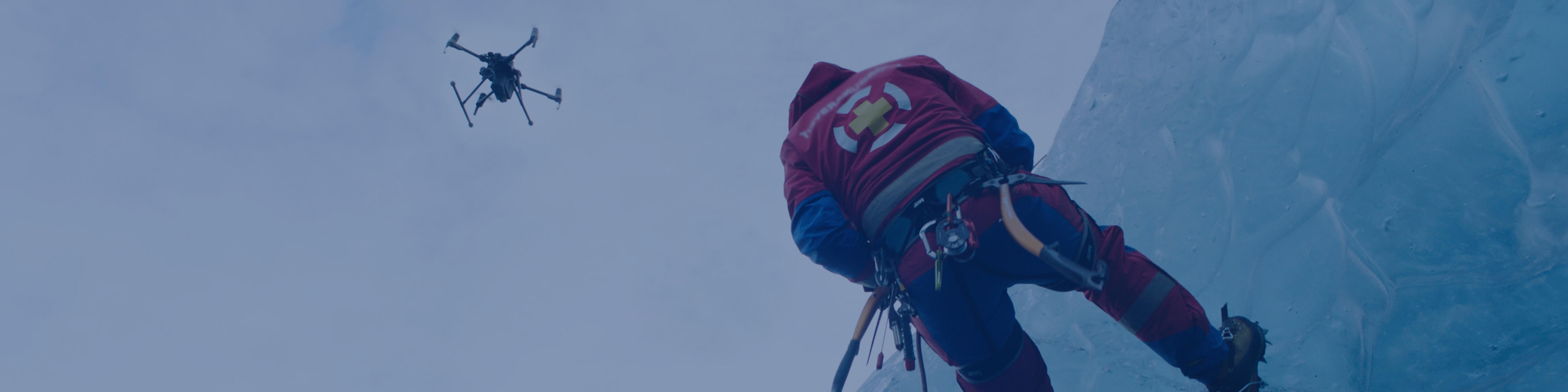
Efficiently scan vast areas and pinpoint missing individuals thanks to high-resolution digital and thermal cameras
Fly over affected areas, document damage to infrastructure and property, and optimize relief efforts

Rescue missions pose inherent dangers to responders, which can be compounded by incomplete situational information.
Rescue teams can be spread thin when target areas are vast and terrain is demanding.
Night time and low-light conditions hinder search efforts, significantly complicating rescue missions.
Scan wide areas and identify threats to victims and responders with high-resolution aerial imagery.
Elevate responders' perspective and bring search and rescue to new levels of efficiency.
At night, or in low-light conditions, leverage thermal sensors to locate missing persons who might otherwise be overlooked.
Related Products
Drone Platform
With thermal and visual sensors, the M2EA supports 32× digital zoom and is capable of centimeter-level positioning accuracy with the RTK modul

Mission Oversight Platform
Oversee missions as they develop, identify threats to firefighters and bystanders, and arm ground teams with real-time aerial intel.

Quick Deployment Thermal Tool
Take off quickly and gain immediate aerial awareness of the fire, enabling safer and effective commands to be made.


In the aftermath of disaster, when every moment matters, complicated terrain and environments can delay response times.
Disaster areas pose hazards to victims and rescue teams which can be aggravated by a lack of clear information and communication.
Relief efforts and target prioritization can be hindered by an incomplete perspective on the affected region.
Fly over obstacles and hazards, immediately gain the power of perspective, and begin deploying care.
An aerial angle can help guide ground teams, facilitate communications, and synchronize rescue efforts.
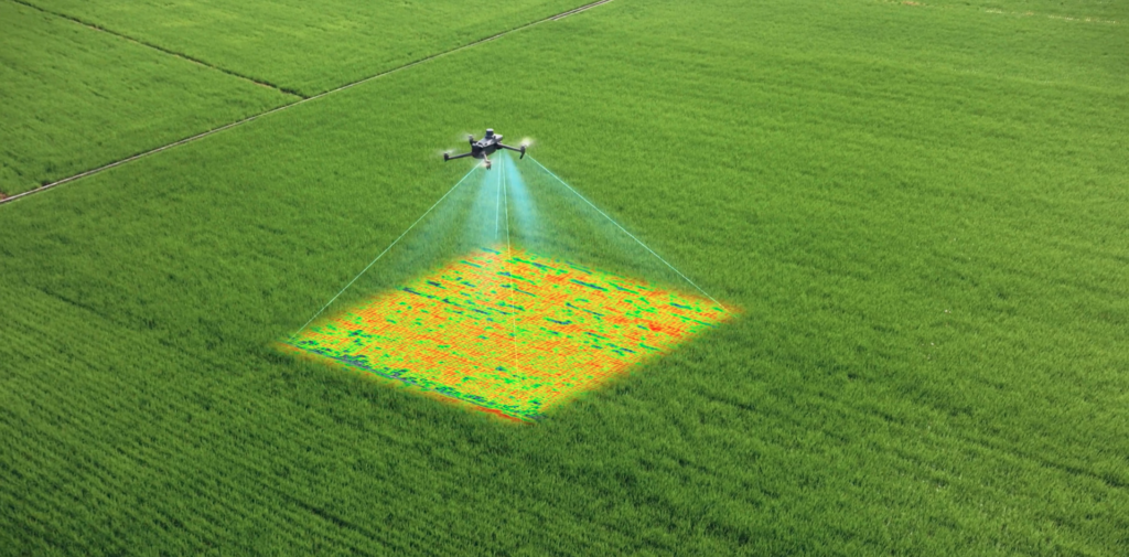
Rapid 2D and 3D modeling of affected areas can produce actionable maps to guide relief efforts.
Related Products
Drone Platform
With thermal and visual sensors, the M2EA supports 32× digital zoom and is capable of centimeter-level positioning accuracy with the RTK module

Mission Oversight Platform
Oversee missions as they develop, identify threats to firefighters and bystanders, and arm ground teams with real-time aerial intel.
Quick Deployment Thermal Tool
Take off quickly and gain immediate aerial awareness of the fire, enabling safer and effective commands to be made.


Subscribe for Similar Content
We will keep you up to date with more stories about drones and other relevant updates. If you are interested in purchasing any of our solutions, you can contact us for further information.
