
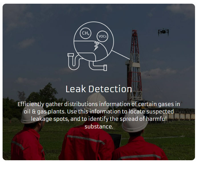
Sorability develops UAV and ground-based gas detection systems that capture and visualize multi-dimensional gas distributions. The Sniffer 4D or Speedip enables you to accurately collect, analyse and visualise hyper-local air pollution information which supports decision-making in Oil & gas, Environmental Protection and HAZMAT response.
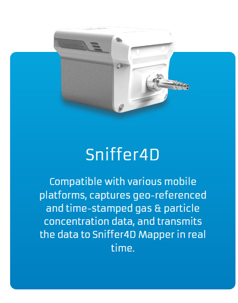
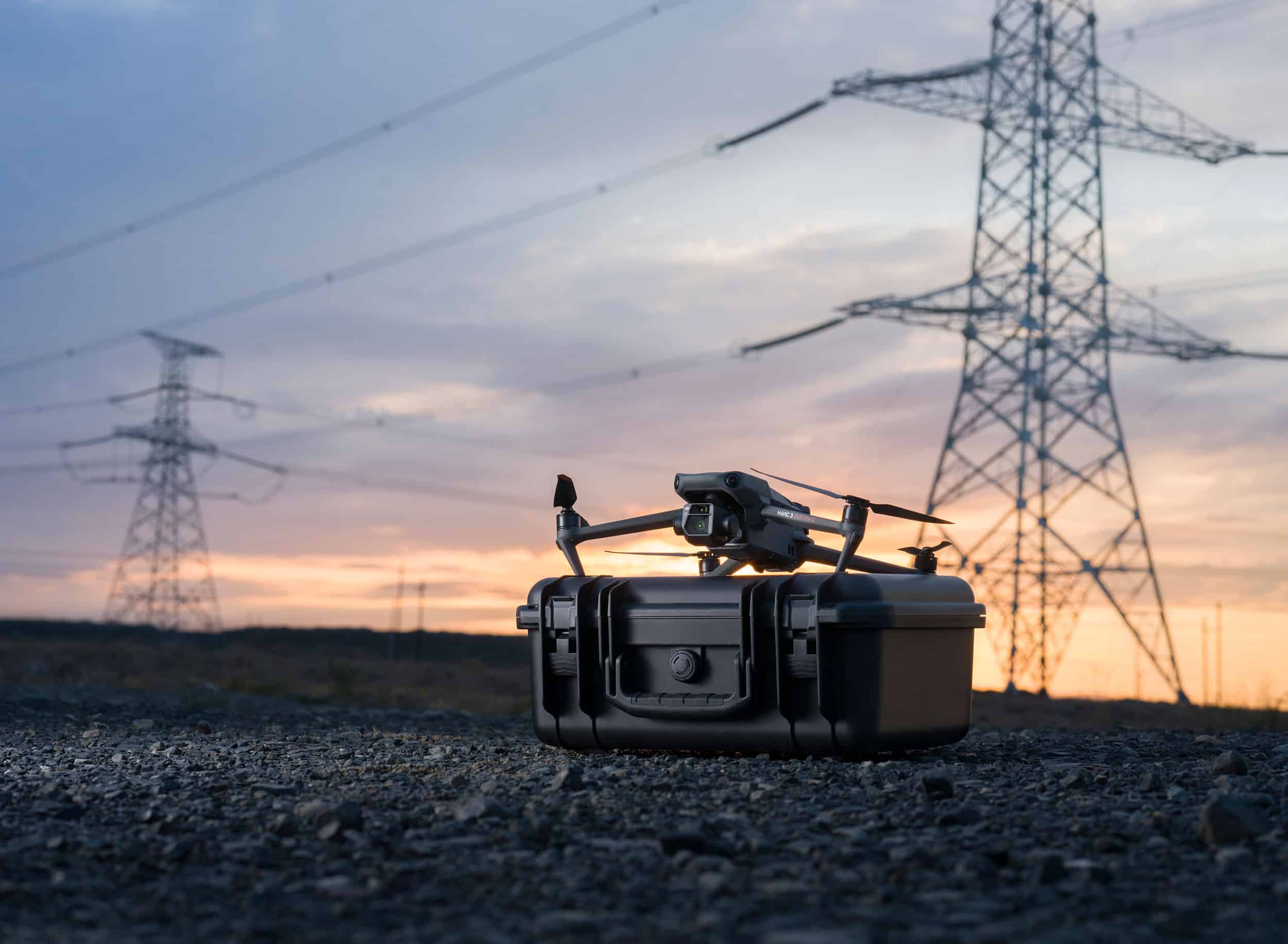
The Sniffer4D v2 is a drone and ground-based multi-gas detection and mapping system. It captures the spatial distributions of gases and particles to generate 2D and 3D concentration maps in real time.

Sense Up to 9 Gases at a Time
Sniffer4D is able to sense up to 9 gases and particle concentrations at one time. Users can flexibly choose or alter their sensor configurations that suit their applications and budgets.
Available Parameters
PM2.5
PM10
SO2
CO
NO2
O2
O3
PH3
HCN
NO
OU
VOCs
CI2
CH4
LEL/CH4
CO2
HF
H2S
NH3
HCI
H2
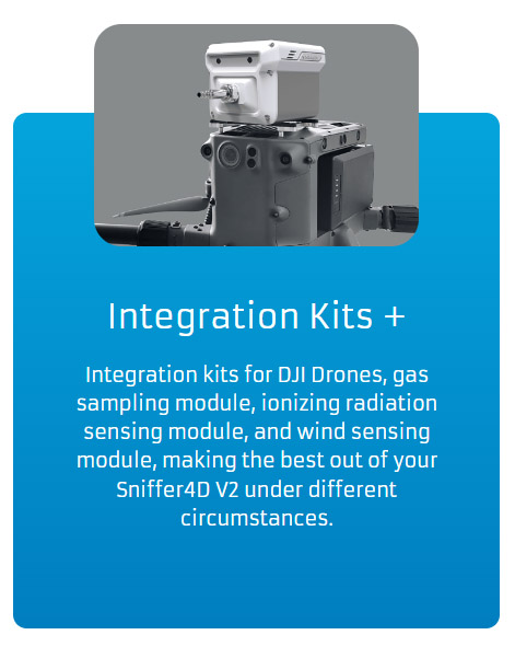
Also including, gas sampling, wind speed & direction, ionizing radiation, and other customized parameters.

See Your Real-time Data, Anywhere
Sniffer4D’s built-in cellular connectivity* & US-based Cloud server enable secure real-time data transmission with unlimited range to decision makers in different locations.
*Supports 4G/LTE/3G/EDGE/GPRS

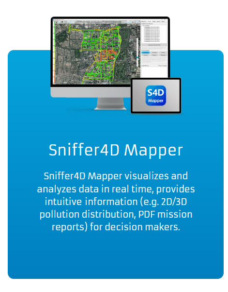
Advanced Real-time Visualization
Sniffer4D Mapper software visualizes and analyzes data from one or multiple Sniffer4D(s) in real time, providing intuitive & insightful information for decision makers.

One-click Result Delivery
After a mission, simply click a button to generate a mission report containing key results, or a CSV datasheet containing all the raw data. Reporting your work has never been easier.


Seamless Drone Integration
When being carried by DJI Enterprise drones, Sniffer4D shows its real-time data on the DJI Pilot App screen. Deep integration with other drone platforms is also possible via Sniffer4D’s API.
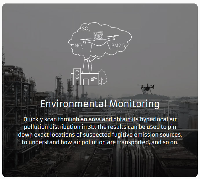
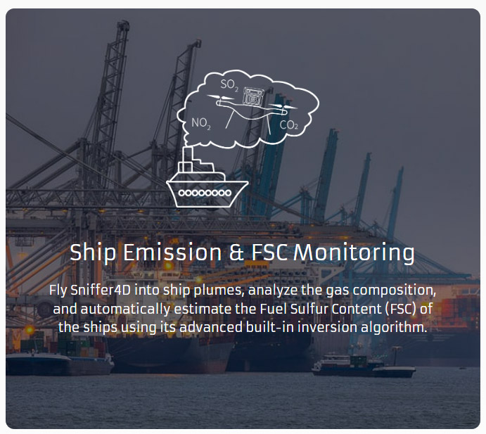
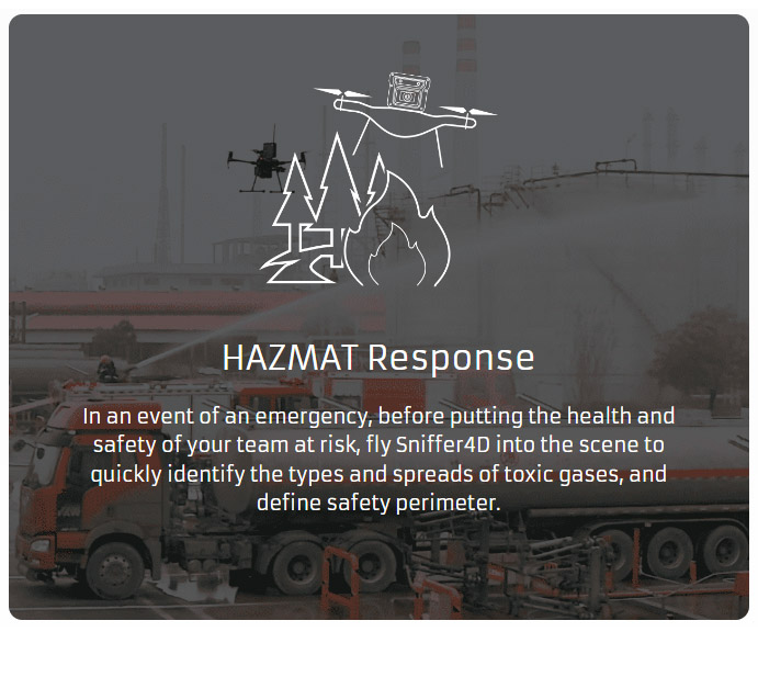
Applications
Included in the Package